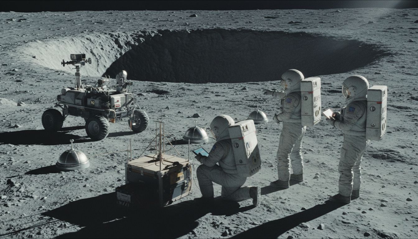
Lunar Opening Under Investigation
NASA is preparing to investigate whether a dark opening on the Moon leads into a much larger underground lava tube. The feature, known as the Marius Hills Pit, is located in an ancient volcanic region on the lunar near side. Japan’s SELENE spacecraft, better known as Kaguya, identified the opening in 2009, drawing scientific interest because lunar pits may provide access to subsurface spaces formed by ancient volcanic activity.
Images from NASA’s Lunar Reconnaissance Orbiter later suggested that the feature is more than a simple vertical depression. An overhanging section beneath the rim appears to extend beyond the visible opening, while exposed layers of bedrock line the walls. Those observations indicate that a void exists beneath the surface, although scientists do not yet know whether it is a short cavity, a collapsed section of tunnel or an entrance to an extensive lava tube. Estimates place the opening at approximately 65 metres across, though the precise dimensions depend on how the boundaries of the pit are defined.
A Multi-Instrument Survey
NASA has selected a mission concept called the Geophysical Instruments for Marius Lunar pit Investigation, or GIMLI, to examine the area from the lunar surface. Led by Planetary Science Institute scientist Nathaniel Putzig, the project involves Honeybee Robotics and other research organisations. It was selected through NASA’s Payloads and Research Investigations on the Surface of the Moon programme, known as PRISM, with delivery expected through the agency’s Commercial Lunar Payload Services initiative.
Rather than immediately attempting to send a robot into the opening, GIMLI would study the surrounding terrain using several complementary techniques. Ground-penetrating radar could identify boundaries between solid rock and empty space below the surface. Seismic instruments could measure how vibrations travel through the ground, while a sensitive gravimeter could detect small variations in the local gravitational field caused by missing underground mass. Cameras would document the pit walls, exposed geological layers and surrounding landscape.
Evidence, Not Yet Confirmation
The combined observations could produce a three-dimensional model of the subsurface and help determine the pit’s depth, shape and possible connection to a larger passage. Each technique provides different information: radar may reveal the roof or walls of a cavity, seismic waves can show how underground structures alter the movement of vibrations, and gravity measurements may indicate whether a substantial volume of rock is absent.
Researchers would gain greater confidence if all three geophysical methods identified the same structure. Such findings could establish whether Marius Hills is a local collapse or a potential entrance to a broader volcanic tunnel. However, the existence of a large, accessible lava tube has not been confirmed. Even if a cavity is detected, its stability, size and accessibility would remain important questions for future exploration.
Relevance to Future Exploration
Lunar lava tubes are of interest because naturally shielded underground spaces could offer protection from radiation, extreme temperature changes and micrometeoroid impacts. That makes them potential targets for future scientific investigations and, in the longer term, possible locations for equipment or habitats. The GIMLI survey would therefore provide geological information while also helping assess whether the Marius Hills region could support later robotic exploration.
Separately, Hawaii’s “Great Crack,” an approximately eight-mile geological fissure in a national park, remains poorly documented. Its depth, internal contents and current public-access status are not clearly established in the available information. Unlike the Marius Hills Pit, it is not part of NASA’s announced lunar investigation. The comparison nevertheless highlights a broader scientific challenge: surface openings can suggest substantial underground structures, but only detailed geological and geophysical measurements can determine what lies beneath them.