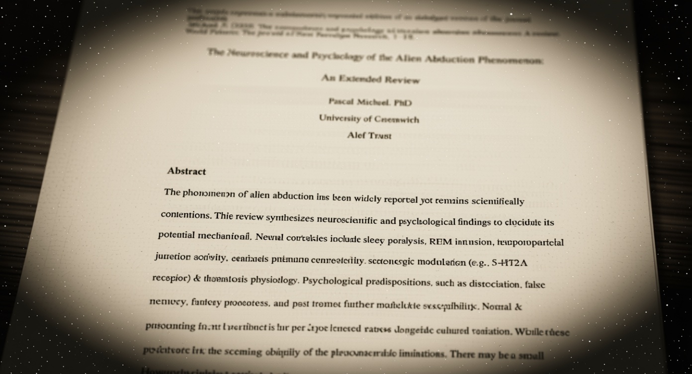
Overview
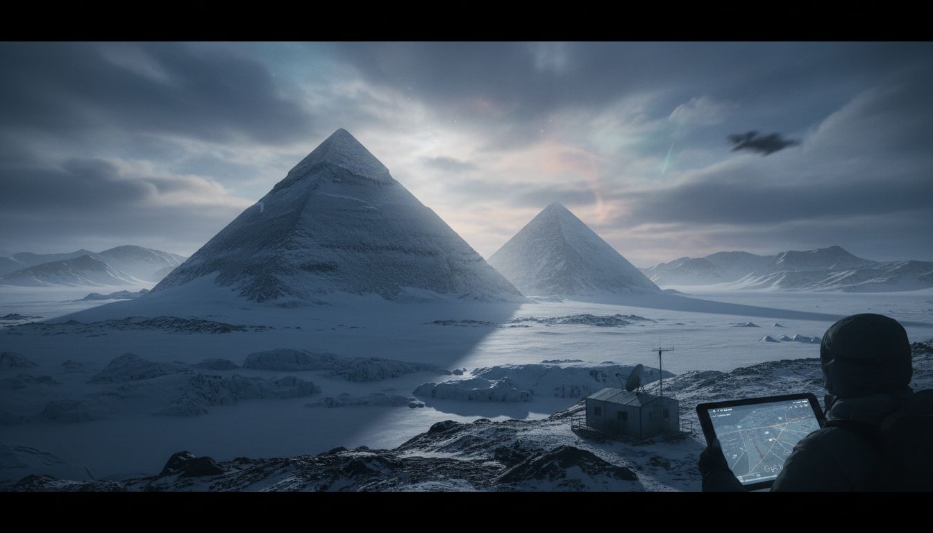
Independent researcher Jay Anderson has sparked renewed debate over Antarctica’s remote Ellsworth Mountains after he posted satellite images that, to his eye, resemble the iconic pyramids of Giza. Using publicly available Google Earth data, Anderson highlighted three sharply pointed peaks that he describes as “pyramid‑like structures” potentially indicative of an ancient, advanced civilization that once inhabited the continent. The images quickly went viral, prompting a flurry of commentary on social media and a wave of speculation ranging from lost prehistoric peoples to extraterrestrial builders.
The Claim and Its Origins
Anderson, who runs a personal blog focused on anomalous geographic features, first posted the screenshots on March 22, noting that the formations “share a striking geometric similarity to the Great Pyramid, both in slope and apparent alignment.” He argues that the precision of the angles—roughly 51.5°, the same as the Giza pyramid—could not be the product of random erosion. In a brief statement, Anderson said, “If nature can carve such perfect geometry, it begs the question whether intelligent hands ever shaped the Antarctic landscape.” His post attracted attention from fringe‑theory forums, where users began linking the Antarctic peaks to other alleged “pyramid” sites worldwide.
Geological Perspective
A consortium of geologists from the University of Colorado Boulder and the British Antarctic Survey examined the same satellite data and issued a joint response. Dr. Laura Mitchell, a glaciologist, explained that the peaks are “classic examples of nunataks—mountain summits that protrude through the surrounding ice sheet.” She added that wind abrasion, freeze‑thaw cycles, and long‑term glacial sculpting can produce angular, pyramidal shapes, especially in the highly weathered quartzite that composes much of the Ellsworth range. “There is no need to invoke human construction,” Mitchell said. “The geometry you see is a natural consequence of differential erosion acting over millions of years.” Similar explanations have been offered for other so‑called “pyramid” formations in deserts and mountain ranges, where rock hardness and prevailing winds create convergent slopes.
Context and Historical Precedent
Antarctica’s interior has long been a magnet for speculative theories, from the 1970s “Antarctic Atlantis” narratives to recent claims of hidden Nazi bases. The continent is governed by the Antarctic Treaty, which prohibits any military or mineral exploitation, leaving large swaths untouched and largely unmapped on the ground. Satellite imagery, while powerful, can sometimes amplify visual coincidences, leading to pareidolia—the brain’s tendency to recognize familiar patterns in random data. Past incidents, such as the 2018 “pyramid” in the Sahara that turned out to be a natural mesa, underscore the importance of field verification before drawing conclusions about human involvement.
Public Reaction and the Path Forward
The images have ignited lively discussion on platforms like Reddit’s r/UFOs and Twitter, where users have tagged the posts with #AntarcticPyramids and #LostCivilization. While some enthusiasts see the findings as a “call to action” for an international expedition, mainstream scientists caution against allocating resources to chase visual anomalies. Dr. Mark Alvarez, a planetary geologist, summed up the sentiment: “Exploration is vital, but we must prioritize sites with clear archaeological potential. Remote peaks that can be explained by well‑understood geological processes are not high‑priority targets.” As of now, no field teams have been dispatched to the Ellsworth Mountains, and the scientific consensus remains that the formations are natural, not man‑made. The episode, however, illustrates how modern satellite tools can both illuminate and mystify the planet’s most isolated corners.